Most of my work at the university is traditional writing and editing, but I also engage in special projects, many of them self-assigned, that add to the university’s communications effort. Outside of the university, I enjoy pursuing projects related to my interests in Fayetteville history and bicycle touring.
[tabs slidertype=”top tabs”] [tabcontainer] [tabtext]UA Timeline[/tabtext] [tabtext]UA Style Guide[/tabtext] [tabtext]FOI Arkansas[/tabtext] [tabtext]Maps[/tabtext] [tabtext]Artwork[/tabtext] [/tabcontainer] [tabcontent] [tab]
if (window.postMessage) {
var tlMouseupFunc = function() {
var tlFrame = document.getElementById(“tl-timeline-iframe”);
if (tlFrame.contentWindow && tlFrame.contentWindow.postMessage) {
tlFrame.contentWindow.postMessage(“mouseup”,”*”);
}
}
if (typeof window.addEventListener != “undefined”) {
window.addEventListener(“mouseup”, tlMouseupFunc, false);
}
else if (typeof window.attachEvent != “undefined”) {
window.attachEvent(“onmouseup”, tlMouseupFunc);
}
}
In 2015, I created an interactive timeline of the University of Arkansas history, from before its founding in 1871 to the present. The project required research into the university’s major historical events, knowledge of photos and videos related to those events, and some minor understanding of html to create the timeline. It supplements a brief history of the university that I also wrote for the university’s website.
[/tab] [tab] During free time when I started working at the University of Arkansas, I began compiling an editorial style guide that gives usages above and beyond what the Associated Press Stylebook provides. It includes entries such as the names of buildings on campus, the proper names of academic degrees, and the correct way to use alumnus, alumna, alumni and alumnae.
Initially, the style guide was a print document, first published in 2006, but was soon added to the University Relations website. It also spurred development of campus guides for print and web design.
[/tab] [tab]![]() While working for The Morning News of Northwest Arkansas, I served as a contributing editor for a statewide project in 1999 testing the response of public officials to requests for documents that should be freely available based on the state’s Freedom of Information Act. The project resulted in a special print edition published in newspapers across the state of the project that remains the only thorough examination of FOI in Arkansas and a benchmark for future studies.
While working for The Morning News of Northwest Arkansas, I served as a contributing editor for a statewide project in 1999 testing the response of public officials to requests for documents that should be freely available based on the state’s Freedom of Information Act. The project resulted in a special print edition published in newspapers across the state of the project that remains the only thorough examination of FOI in Arkansas and a benchmark for future studies.
[/tab] [tab] I’ve been interested in creating maps since I was 13. My first map was a long version of the Buffalo River, based on the maps in Ken Smith’s book The Buffalo River Country. Instead of separate pages, though, my map spread in one long sinew along the paper of an end roll left over from the Standard Register Printing Plant in Fayetteville. Today, most of my maps are built in Google maps.

Butterfield Overland Mail Route
While researching the Butterfield Overland Mail Company’s routes in Arkansas, I created an online map based on historical maps, field work and use of present-day aerial imagery. That led me to research the route as it passed through other states and eventually create a full map of the route in Google maps. President Barack Obama signed legislation in 2009 asking the National Park Service to conduct a study of the route to determine whether it should be designated a National Historic Trail, a process that is still underway. The park service asked to use my map as a baseline for their further research to determine the original route, a potential modern-day driving route and contributing historic resources such as museums, buildings dating from the 1860s and archaeological remains.
 The 37-mile-long Razorback Greenway opened to the public in 2015, allowing pedestrians and bicyclists to travel off-street between south Fayetteville and Lake Bella Vista. Amenities along the route include city parks, museums, schools, restaurants and bicycle shops, among others. As a bicycle tourist, commuter and recreational rider, I had ridden nearly all of greenway prior to its official opening and created a Google map to show other travelers the path of the route, amenities along it and connections to other multi-use paths. When the Razorback Greenway was dedicated, I was asked to provide a history walk along the Fayetteville portion of the greenway.

National Register of Historic Places
I maintain a website about the history of Fayetteville. As part of that I try to provide historical maps, both images of period maps and interactive maps such as this map of the National Register of Historic Places. It identifies all the structures in Fayetteville that are listed on the National Register and delineates the various historic districts as well.

Nineteenth-Century Fayetteville
In the latter part of the 1800s, the Sanborn Insurance Co. began making maps of cities across the country to document buildings and any nearby features that might affect insurance rates, such as close proximity of a blacksmith shop or access to running water. The company made its first map of Fayetteville in 1886, updating it in 1892 and expanding it significantly in 1897. To give a reader an easier way to examine those maps, I’ve recreated color-coded versions of all three years layered within a single Google map. Each year can be toggled on and off by using a menu in the top left corner of the map’s page on FayettevilleHistory.com.

Bicycle Touring Guide to Scenic Highway 7
Over the last couple of years, I’ve researched a bicycle touring map of Scenic Highway 7 in Arkansas and produced a booklet that provides information on campgrounds, hotels, restaurants, groceries, bicycle shops, visitor centers and cultural amenities for someone who wants to tour the highway by bicycle. The guide also gives distances between points and recommended alternates to Highway 7, especially in cities where a quiet residential street might be preferred to the traffic-heavy highway.
It’s design — with the direction of north at the left rather than above — is a convention of bicycle maps, which are usually fitted into a horizontal sleeve specific to touring bicycles.
Along with the map, the guide includes an elevation chart, estimate of shoulder width and Arkansas statistics on daily average traffic, shown below.

[/tab] [tab]
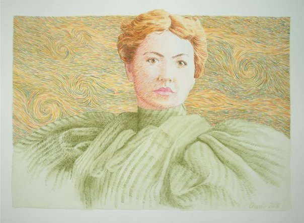
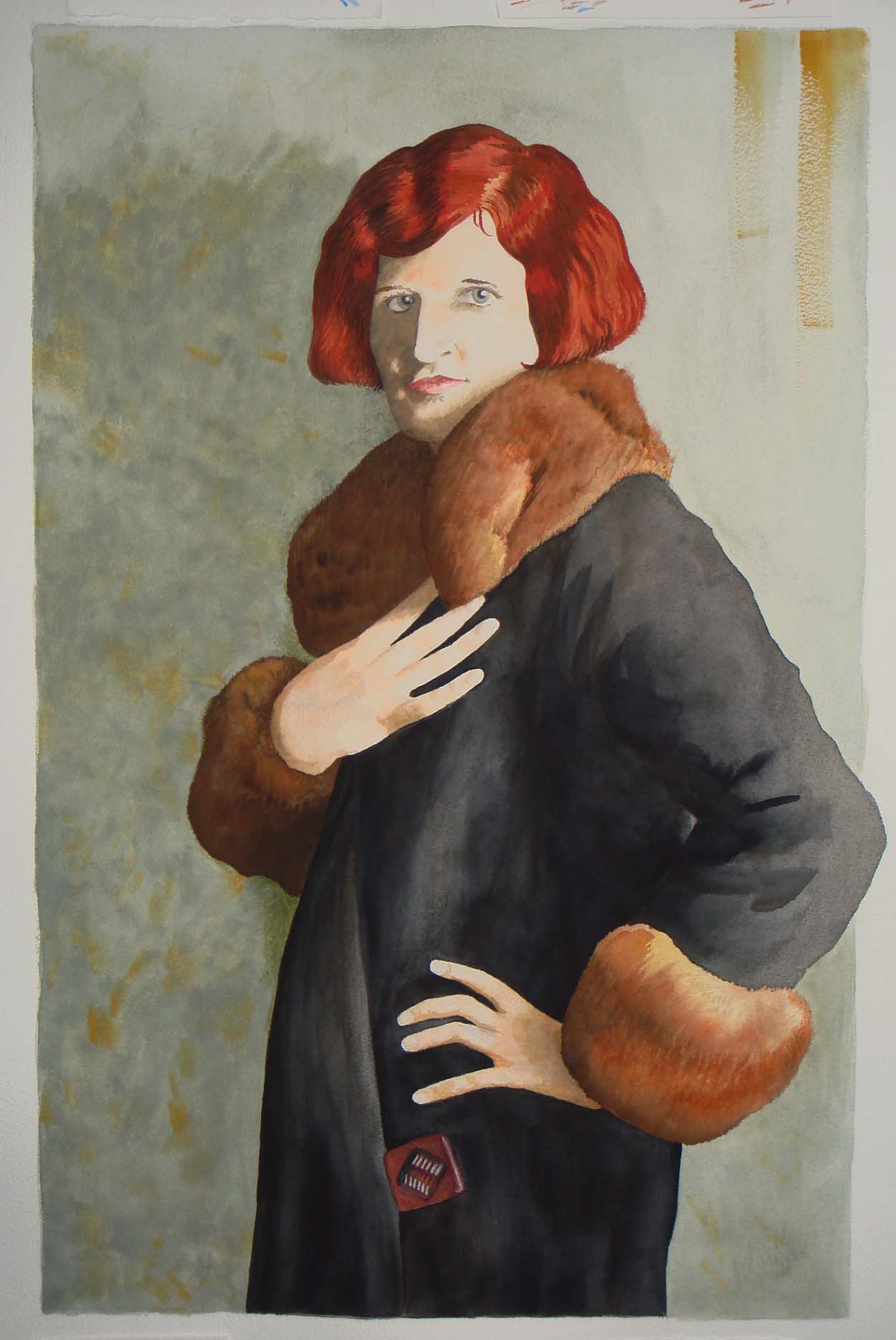
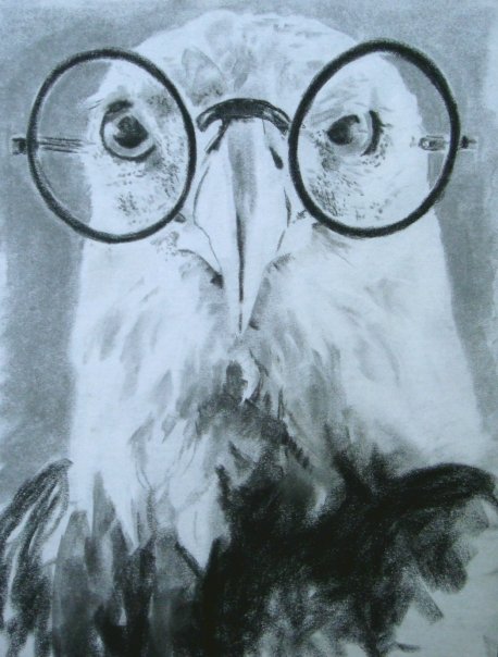
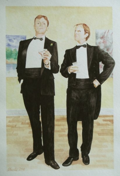
I have drawn or painted for as long as I can remember, but also took art classes during my university years, including basic drawing but also more advanced courses in calligraphy under Martha Sutherland and printmaking. A lot of my early work was in pen and ink or pastel crayon, but in the last dozen years I have done more watercolor.

[/tab] [/tabcontent] [/tabs]
